
This announcement from NorthStar Earth & Space Inc. was released on Oct 9th, 2025
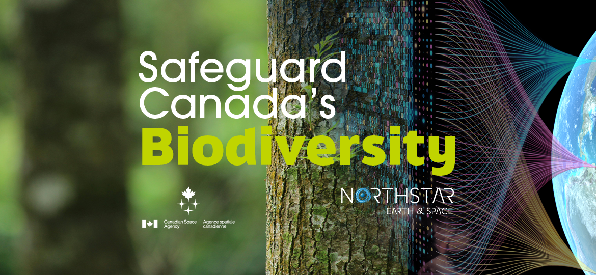
NorthStar Earth & Space chosen to safeguard Canada’s heritage of biodiversity through CSA SmartEarth program
As part of Canada’s 2030 Nature Strategy, NorthStar will improve the conservation of forests through sustainable management of species using hyperspectral imaging data
Montreal, Canada—October 9, 2025—NorthStar Earth & Space, an expert in cutting-edge processing of space-based imagery for environmental sustainability, has been awarded a Canadian Space Agency SmartEarth contract under the newly launched ‘Satellite Mobilization for Biodiversity Action’ SAMBA initiative to advance the development of sophisticated mapping of forest species using state-of-the-art space based hyperspectral imagery.
NorthStar’s novel capability and world class expertise will enable more rapid integration of hyperspectral data generated from space missions into the database of information used to monitor and protect forest ecosystems. With more enhanced information regarding the type, abundance, and distribution of tree species that compose the forests scientists, ecologists, environmental professionals, and policy makers will be equipped with much better insight into the health of the forests to vastly improve the overall management and conservation of forests worldwide.
“NorthStar is proud to partner with the CSA and join other Canadian innovators through the SmartEarth initiative to promote the development of applications using satellite data to solve the most pressing challenges facing our everyday lives,” said Nadia Rochdi Executive Director of NorthStar’s Ei2 Products. “Satellite imagery delivers critical insight that drives science and innovation in various fields that concern us all.”
Link to CSA announcement: Contributions, grants and contracts awarded | Canadian Space Agency
About NorthStar Earth & Space
NorthStar is creating Earth Information and Intelligence (Ei2) services in collaboration with partners in the private, academic, and government sectors to leverage satellite and airborne imagery from multiple sources to find solutions to the biggest environmental challenges in a variety of Earth sectors including Agriculture, Maritime, Forestry and Energy.
NorthStar uses big data in combination with AI based predictive analytics to deliver contextualized information solutions directly to end users in the private and public sectors loaded with critical knowledge about Earth’s environment on and around our planet.
Media Contacts:
NorthStar Earth & Space Inc.
Email: media@northstar-data.com
Website: https://northstar-data.com

